About us Contacts
Follow us:

Facebook Youtube Google+ LinkedIn Instagram

TimberMatic Maps

TimberMatic Maps. Information at your fingertips.

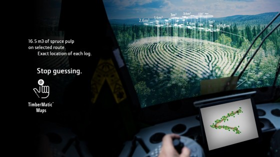
TimberMatic Maps gives operators a real-time production view to the logging site. The data collected by the harvester’s sensors and the precise GPS-based location of the felled timber, is automatically transmitted from the harvester to the TimberMatic Maps application for use by the forwarder operator. The data between the machines are updated through a cloud service, and all the operators working at the same work site can see all the tree species and assortments with the driving routes right down to the individual logs.

TimberMatic Maps is a new way of visualizing a logging site. The application clarifies and improves the teamwork of the machines. The operators and contractor have a real-time view to the progress of the work site.
Back